Sant Simplici<p style="text-align: justify;"><strong>The hill of Sant Simplici,</strong> 111 meters high, is a strategic point between Tarragona, La Móra and El Gaià, standing out for its visibility over the coastline and control of the natural corridor of the Via Augusta. This space combines natural landscape and cultural heritage, with old roads and historic farmhouses that show a long use and surveillance of the territory over the centuries.</p> <p style="text-align: justify;">At the top are the remains of a watchtower from the High Middle Ages, probably linked to the first moments of territorial organization of <em>al-Andalus</em>. The tower, with a circular plan, thick walls and simple construction, allowed immediate surveillance of the surroundings. Although it has often been attributed to later defensive uses, there is not sufficient documentary evidence. The toponym <strong>Sant Simplici</strong>, documented since modern times, has been related to hagiographic traditions, although its exact origin is unknown. Today, the hill constitutes a natural viewpoint within the Green Ring of Tarragona, preserving the memory of an old surveillance system and forming part of the historical and landscape mosaic of the Tarragona coastline.</p>https://rutes-content.tarragona.cat/en/sant-simplicihttps://rutes-content.tarragona.cat/@@site-logo/logo_aj_tgna.png
Sant Simplici
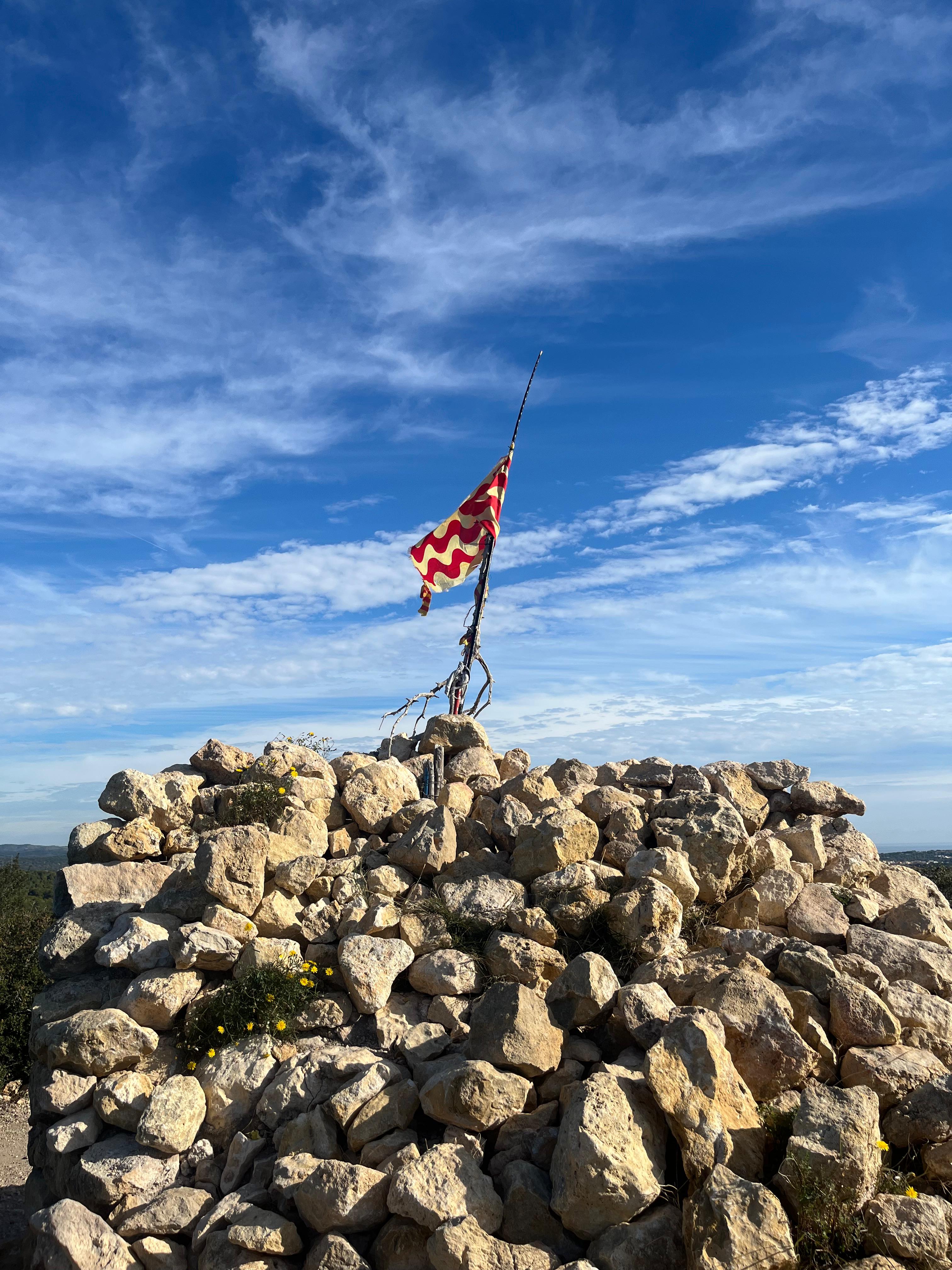
<p style="text-align: justify;"><strong>The hill of Sant Simplici,</strong> 111 meters high, is a strategic point between Tarragona, La Móra and El Gaià, standing out for its visibility over the coastline and control of the natural corridor of the Via Augusta. This space combines natural landscape and cultural heritage, with old roads and historic farmhouses that show a long use and surveillance of the territory over the centuries.</p> <p style="text-align: justify;">At the top are the remains of a watchtower from the High Middle Ages, probably linked to the first moments of territorial organization of <em>al-Andalus</em>. The tower, with a circular plan, thick walls and simple construction, allowed immediate surveillance of the surroundings. Although it has often been attributed to later defensive uses, there is not sufficient documentary evidence. The toponym <strong>Sant Simplici</strong>, documented since modern times, has been related to hagiographic traditions, although its exact origin is unknown. Today, the hill constitutes a natural viewpoint within the Green Ring of Tarragona, preserving the memory of an old surveillance system and forming part of the historical and landscape mosaic of the Tarragona coastline.</p>